Field Experience Across the Intermountain West
Spring inventories, watershed monitoring, restoration projects, and ecological assessments grounded in field data and practical implementation.
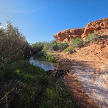
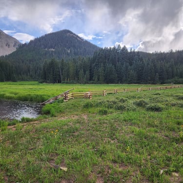
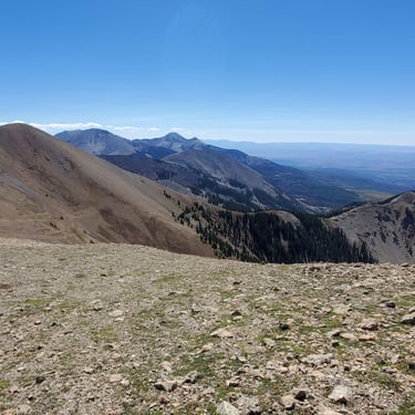
From remote springs to seasonal drainages
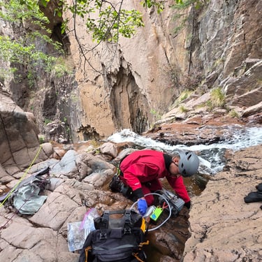
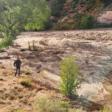
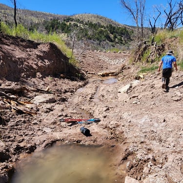
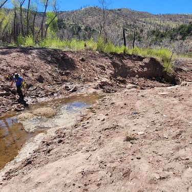
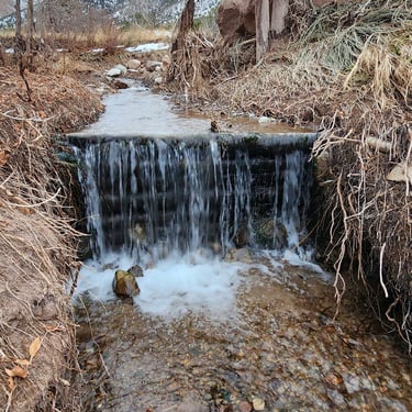
Every project begins and ends in the field. Monitoring data, georeferenced spring locations, and photo documentation form the deliverable—collected across terrain most consultants don't reach.
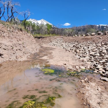
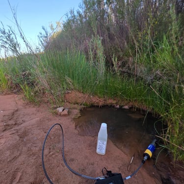
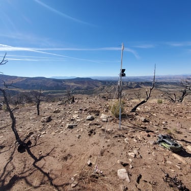
Springs the maps skip
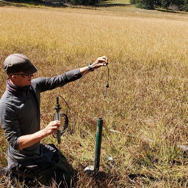
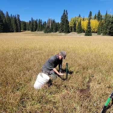
Multi-year data, not single snapshots
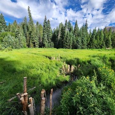
Condition, function, and restoration need
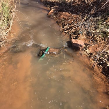
Ground-truthed spring locations across Utah and Arizona, including perennial seeps absent from USGS records. Field-verified flow, water quality, and riparian condition documented each visit.
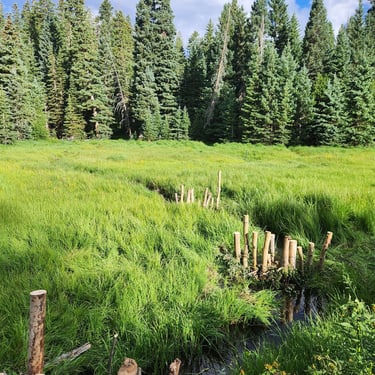
Seasonal discharge, sediment transport, and vegetation response tracked across multiple water years. Monitoring designs built for remote access and consistent replication across agency contracts.
Plant community surveys, channel form analysis, and process-based restoration scoping across canyon drainages and high-elevation meadows. GIS deliverables and photo-documented field reports.
Bring us your watershed scope
Spring and fall field seasons fill early. If you have monitoring, inventory, or restoration scoping work on the Plateau, reach out before the season closes.