Watershed science done in the field, not the office.
Spring inventories, water quality monitoring, process-based restoration support, and GIS mapping—each grounded in season-specific fieldwork across arid-land drainages from canyon bottoms to high-elevation seeps.
What we do in the field
Spring Inventories
Watershed Monitoring
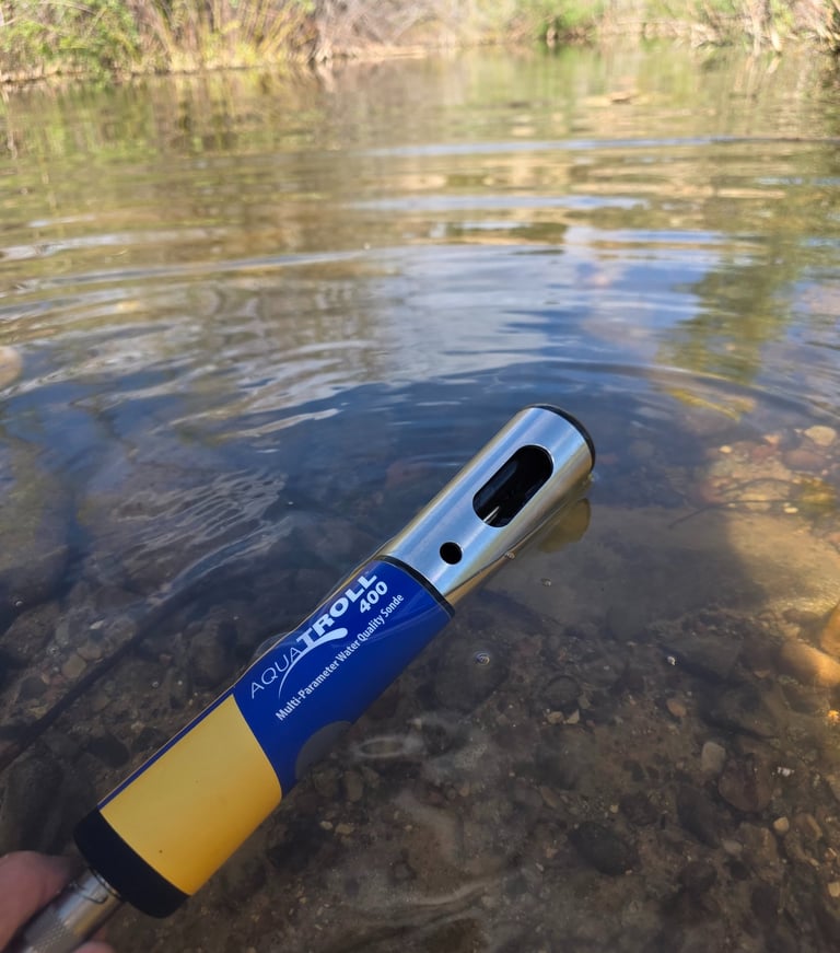
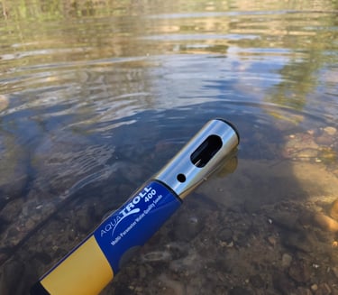
Water Quality Monitoring
GIS and Field Mapping
Field sampling for physical and chemical parameters at springs, seeps, and surface flows—using calibrated instruments, documented protocols, and chain-of-custody sample handling.
Spatial data collected on the ground and compiled into deliverable-ready GIS layers—channel networks, spring locations, restoration units, and vegetation polygons verified by field observation.
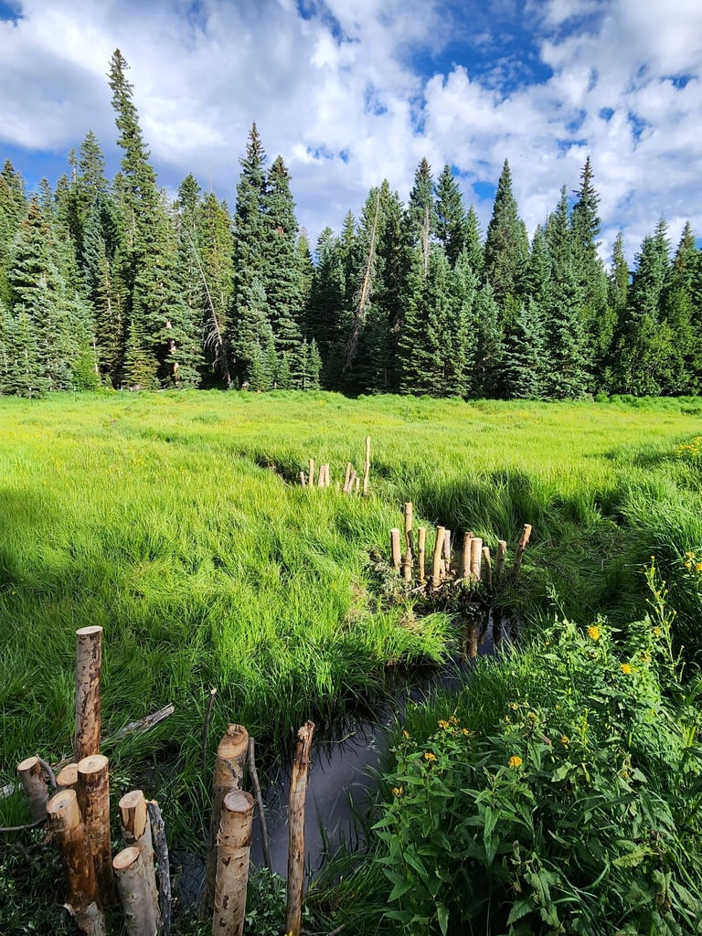
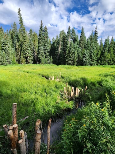
Long-term data collection across drainages: stream gauge installation, repeat transects, and seasonal channel assessments tied to precipitation and soil records.
Location, flow measurement, and condition assessment of mapped and unmapped springs—including those that appear only in narrow seasonal windows.
Restoration Planning Support
Ecological Field Assessments
Plant Surveys
Remote Field Logistics
Low-tech process-based design for arid-land drainages—structure placement, material selection, and phased implementation grounded in observed water behavior and soil response.
Rapid and intensive assessments of riparian condition, upland function, and hydrologic connectivity—structured for agency reporting requirements and restoration baseline documentation.
Riparian and upland vegetation surveys tied to hydrologic condition—cover and composition transects, invasive species mapping, and obligate hydrophyte documentation for wetland determinations.
Equipment staging, access route planning, and multi-day crew support for sites well beyond maintained roads—handled as part of scope, not as an afterthought.
We handle the logistics so the data gets collected.
Remote drainages and high-elevation springs don't appear on most project scopes because reaching them is hard. We route in, stage equipment, and collect data from the sites that matter most—regardless of road access.
Tell us the scope. We'll tell you what the field requires.
Spring and fall field seasons fill early. Reach out with your project location, timeline, and data needs and we'll respond with a clear picture of what's feasible.