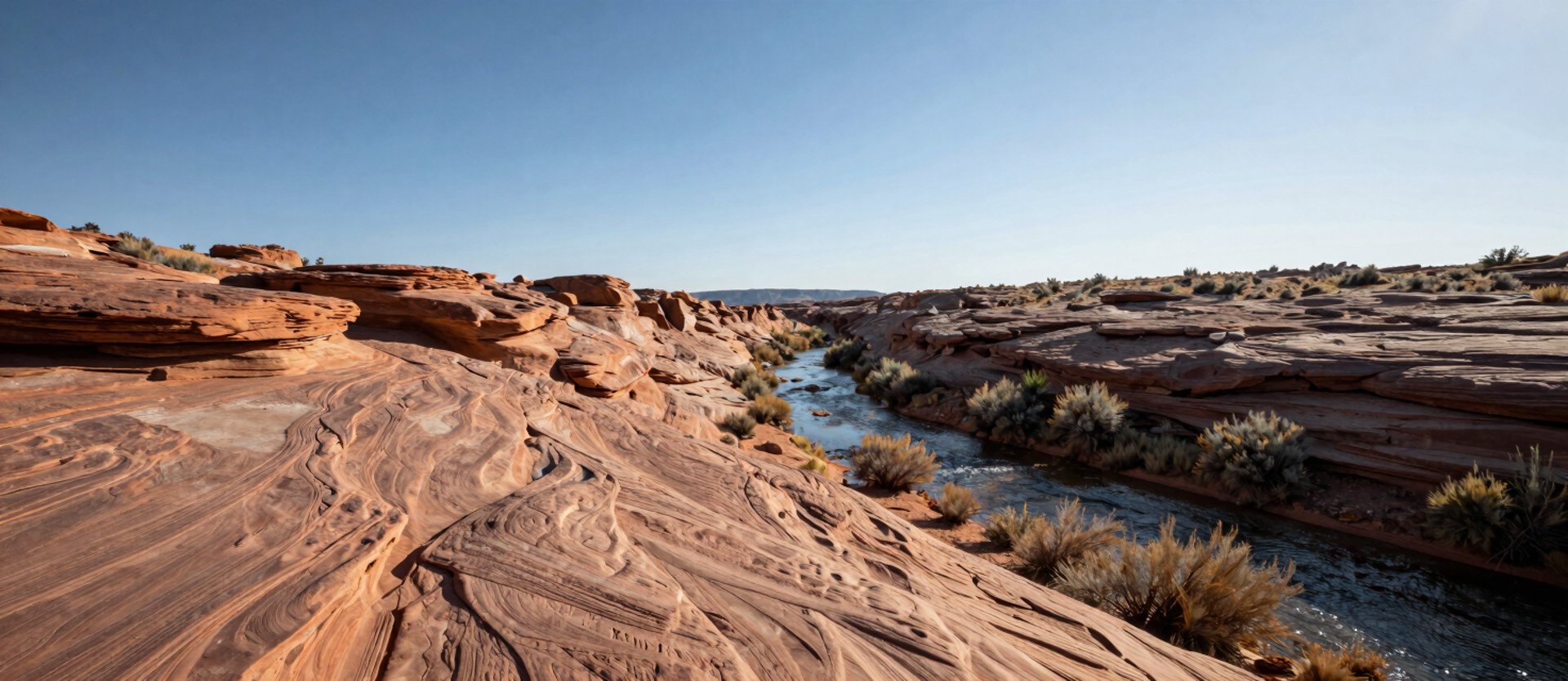
Water and soil tell us where to work.
Every structure we place follows what the hydrology shows us on the ground, across seasons. No template survives the Plateau unchanged.

The hydrology decides. We follow it.
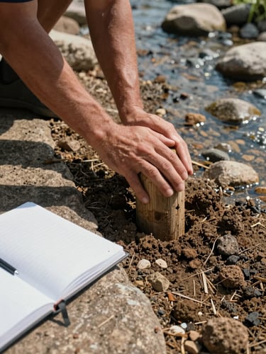
Before any low-tech structure goes in, we read the channel—its slope, substrate, flood history, and where water actually moves versus where maps say it should.
Post-and-brush, rock weirs, leaky dams: each earns its place only when the local water behavior and soil conditions support it. We don't install what the land won't hold.
GIS analysis and remote sensing orient us. Field reconnaissance in the channel, on hands and knees reading saturated soil, closes the gap that desktop data leaves open.
The Plateau reads differently in April than in September.
Spring snowmelt reveals connectivity—where water sheets across uplands and where it concentrates into channels. That's when we map flow paths and identify which reaches are candidates for intervention.
Late-season site visits confirm how structures held through high flows, where soil is responding, and whether the design assumptions matched what the watershed actually did. Plans adjust accordingly.
Restoration that holds through the next flood.
If you're planning a watershed restoration project on the Colorado Plateau, we can walk you through what field-grounded design actually requires before you commit to a scope.